Projets IOWAGA et WAVE-DB.

Le projet d'étude intégrée des vagues pour la géophysique et le génie océanique et côtier (IOWAGA) est financé par le Conseil Européen de la Recherche. l'objectif de ce projet est de fournir les informations les plus précises possibles sur les vagues, pour des applications géophysiques en
-sismologie 
-océanographie littorale 
-télédétection de l'océan 
-étude des flux entre l'air et la mer 

et des applications météorologiques
-observation et prévision des vagues 

If you need information about some sea-state related parameter, chances are that IOWAGA can provide it to you, and chances are that you will not find a more accurate estimation elsewhere. The project team is particularly working on the use and interpretation of novel data sources (from satellites, stereo-video cameras, seismometers) and the improvement on numerical wave models.


The IOWAGA activities are also funded in part by the U.S. National Ocean Partnership Program, through the "Waves Dissipation and balance" (WAVE-DB) project, also led by F. Ardhuin, and these activities also contribute to the China France Ocean SATellite project (CFOSAT), with partial funding from the French Space Agency CNES .

Around the IOWAGA team at Ifremer, we are also happy to collaborate with outside partners (Georgia Tech., PROTECNO, Zanke and partners ...) and other projects, in particular the coastal operational oceanography project previmer.

Remote sensing

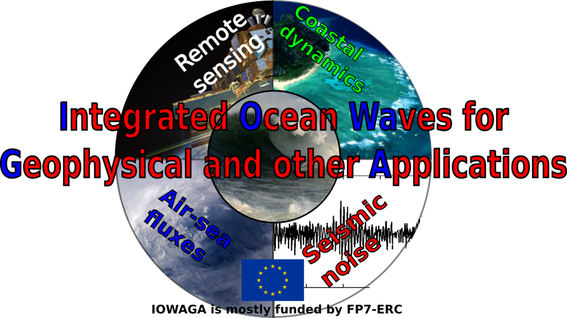
Measurements of ocean properties from space that use radar or other techniques are generally influenced by ocean waves. Remote sensing is also a way to measure wave properties. IOWAGA uses satellite data to provide a validation for the numerical model results, but also provides parameters, derived from these models, that can be used to correct for wave effects in measurements of sea surface salinity, winds, sea level ...

Wave-current interactions

Wind-generated waves are sensitive to ocean currents that lead to refraction, changes in wave celerity, and possibly local amplification up to breaking. In turn waves can accelerate currents due to breaking and waves contribute to the drift of near-surface water and floating objets. These interactions have been used to measure currents. Ongoing work at LOPS goes along these ideas, helping to improve methods for measuring currents, and getting a better representation of current effects on waves and all their consequences. 

Infragravity waves

Infragravity waves are generated at the shoreline and radiate across ocean basins, and are characterized by periods typically in the range 30-300 s. The height of infragravity waves often dominates the wave height right at the shoreline, and they are very important for coastal inundation and sediment transport. Amplitudes in the open ocean are much weaker, from a few millimeters to a few centimeters, and a typical wavelength around 10 km. That can still be an issue for precise sea level measurements from satellite, for example with the SWOT mission.  These oscillations are also a source of seismic waves that are recorded everywhere on Earth, including some of the Earth "normal modes".  Our team at LOPS has been working on all these aspects, from the shore to the deep ocean and solid Earth to remote sensing.